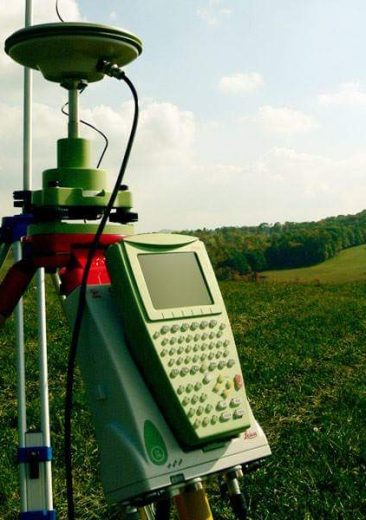
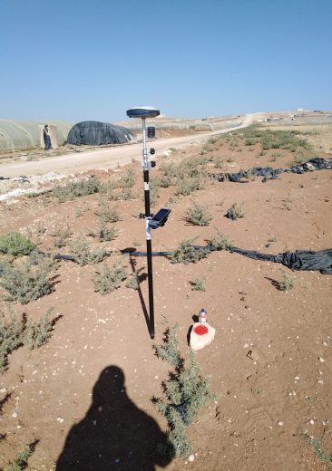
B.C.C. provides expert geomatics engineering services, combining advanced surveying techniques, GIS technology, and cloud-based data collection for precise, real-time project documentation. From topographic surveys to aerial mapping, we ensure reliable data and efficient project execution at every stage.
Our Geomatics Services include:
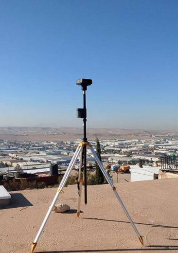
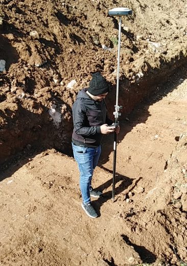
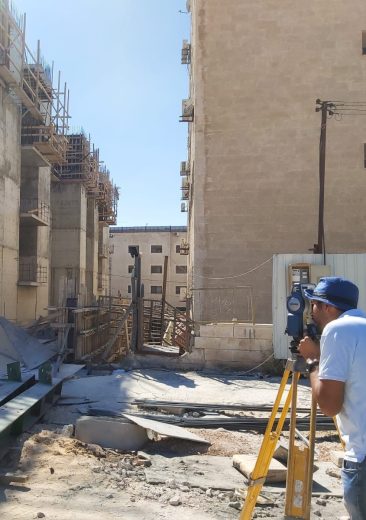
Topographic Surveys
We conduct detailed topographic mapping of site features to enable precise planning and infrastructure design.
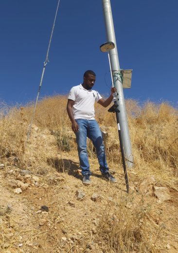
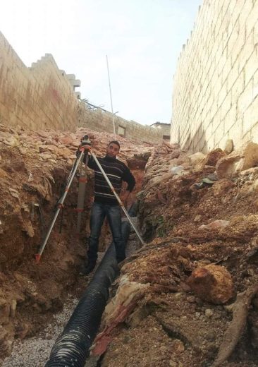
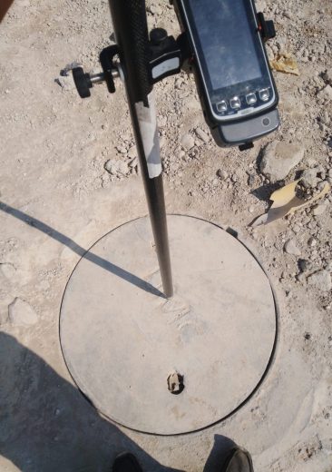
Utility Mapping
We accurately identify and map underground utilities to prevent construction conflicts and ensure site safety.
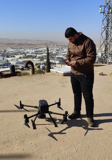
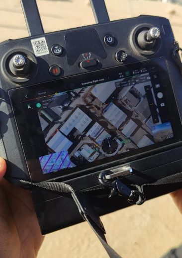
Aerial Surveying
We utilize advanced aerial photography and remote sensing technologies to gather comprehensive, large-area data efficiently.